India’s varied climate zones can experience heavy rainfall, particularly during the monsoon season, which lasts from June to September. While the monsoon is critical for replenishing water sources and supporting agriculture, it can also cause catastrophic flooding in certain areas.
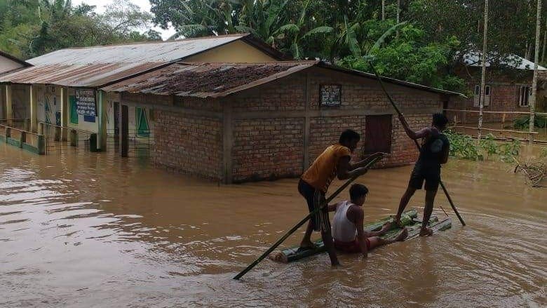
The northeastern state of Meghalaya holds the record for the highest annual rainfall in Asia, with its village of Mawsynram receiving an astonishing 11,861 millimeters (467 inches) of rain annually. This heavy rainfall contributes to the monsoon flooding that devastates parts of India each year, particularly in the low-lying coastal regions and in flood-prone areas like Bihar and Uttar Pradesh. The floods not only cause loss of life and property but also disrupt transportation, agriculture, and essential services.
In 2005, Mumbai was hit by one of the heaviest rains in its history, when 944 mm (37 inches) of rainfall was recorded in a single day. The resulting floods killed more than 900 people, underscoring the vulnerability of urban areas to extreme rainfall. Although the Indian government has made strides in flood preparedness, including better forecasting and improved infrastructure, flooding remains one of the most devastating natural disasters.
Interactive Element:
- Flood Risk Map: Explore a map of India’s flood-prone areas and compare rainfall data across different states.
- Poll: What measures do you think should be taken to prevent urban flooding in cities like Mumbai?
No comments:
Post a Comment